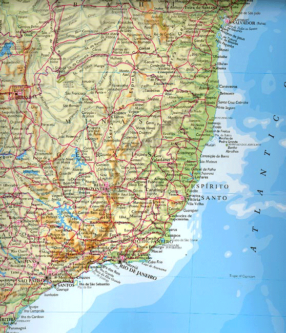
Source: Oxford Atlas of the World, 13th ed, 2006: p. 333.
Notes: This map shows about half of Brazil; all of the great Amazon River basin lies farther north; the southern region lies to the south, and the borders with Argentina, Paraguay, and Bolivia lie farther west. Here, however, we see the major population, cultural, and political centers from Sao Paulo and Rio de Janeiro in the south, Belo Horizonte in the interior a little above these two great cities, the capital of Brazilia in the upper left, and the great colonial city of Salvador da Bahia in the upper right. Click here for a close-up of => Ouro Preto.